GNSS SOLUTIONS
At ZATNav (Pvt) Ltd., we specialize in delivering GNSS solutions, leveraging our expertise in signal processing and advanced hardware development. Our innovative offerings cater to a wide range of industries requiring precise navigation and enhanced signal integrity.
OUR WORK
(Research, Applications & Projects)
GNSS-R Software Algorithms
Pioneering algorithms for GNSS Reflectometry (GNSS-R), enabling advanced surface monitoring and environmental sensing.
Click here to learn more.
TOOLS AND SOFTWARES


1. GNSS RTK Precise Positioning
Our GNSS RTK (Real-Time Kinematic) solutions provide centimeter-level accuracy for industries where precision is non-negotiable. Whether it’s land surveying, precision agriculture, smart construction, mining, or autonomous vehicles, our RTK positioning technology ensures dependable and real-time results. With fast corrections and high reliability, businesses can achieve accurate mapping, efficient resource utilization, and reduced operational costs.
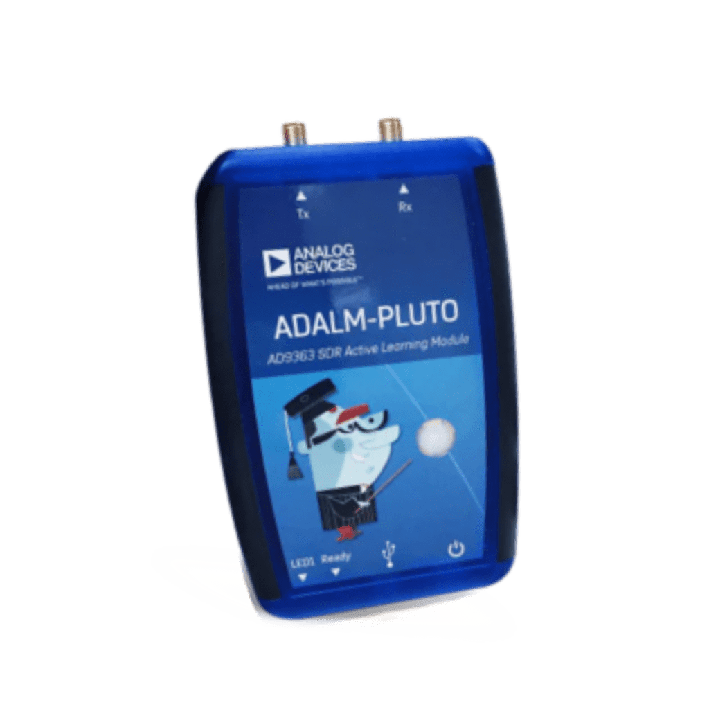
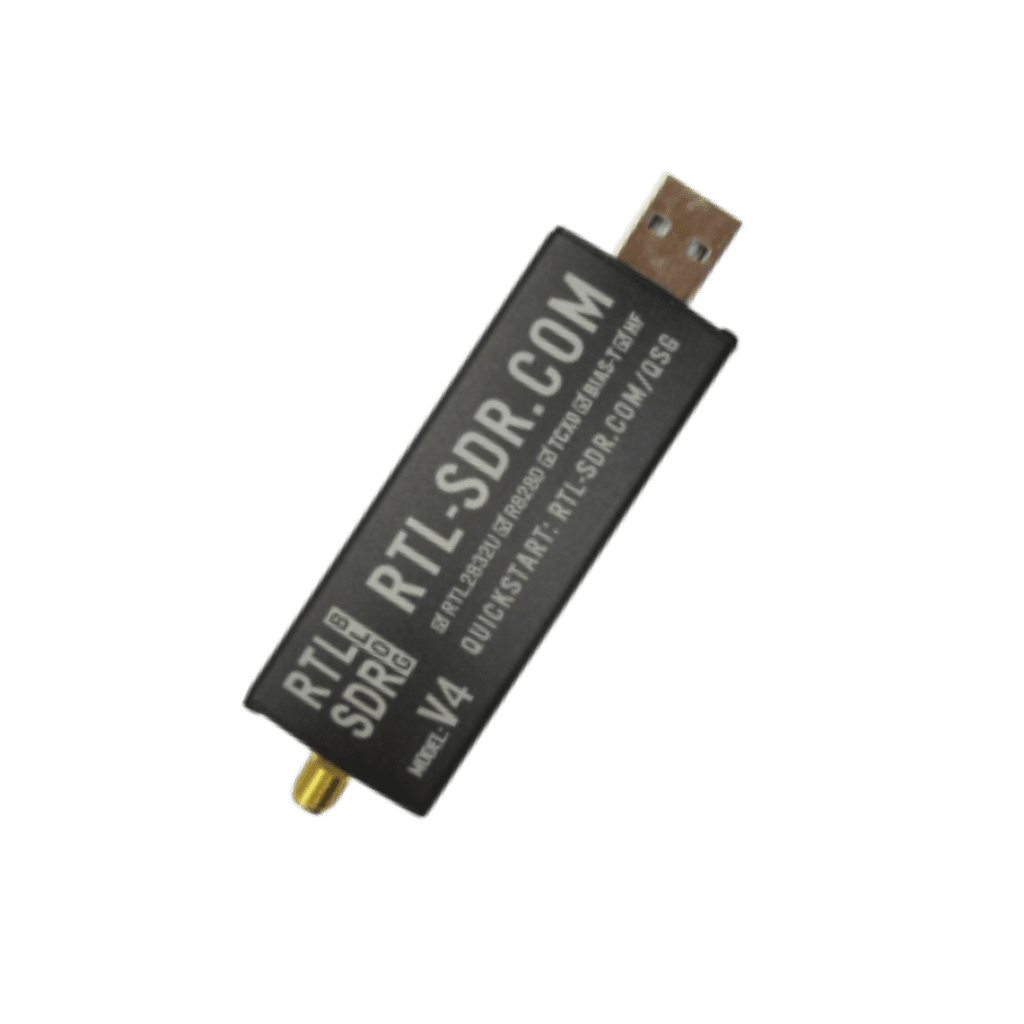
2. GNSS RF Receiver
ZATNav designs and develops advanced GNSS RF receivers that deliver robust signal acquisition and processing. Our receivers are tailored for seamless integration into a wide range of commercial applications, including fleet management, smart mobility, geospatial mapping, and IoT devices.
Multi-Band Spectrum (L1, L2, B1, B2)
Our receivers support multi-band spectrum (L1, L2, B1, B2) signals, enabling faster fixes, improved accuracy, and enhanced signal integrity even in urban or challenging environments. Multi-band GNSS performance ensures greater resilience, reduced errors, and higher reliability for industries that depend on continuous connectivity.
3. Hardware Integration
We specialize in GNSS hardware integration, enabling companies to embed high-performance navigation and positioning modules directly into their systems. From surveying equipment and smart farming machinery to autonomous platforms and logistics systems, our hardware solutions are built to ensure compatibility, scalability, and long-term performance.
4. Custom GNSS System Designs
Every business has unique requirements, which is why ZATNav offers custom GNSS system designs. Whether you need a tailored solution for tracking, mapping, precision monitoring, or industrial automation, our team develops bespoke GNSS systems to fit your exact commercial needs.
5. Remote Sensing with GNSS
Our GNSS-based remote sensing solutions empower industries to gather accurate environmental and geospatial data in real time. Applications include smart city planning, agriculture monitoring, natural resource management, and environmental studies. By leveraging GNSS remote sensing, organizations can make data-driven decisions, optimize resources, and enhance efficiency.
Our commitment to innovation ensures that our GNSS solutions are not only technologically advanced but also adaptable to evolving industry demands. From remote sensing to advanced positioning applications, ZATNav’s solutions are built to perform in the most challenging environments, delivering reliability, accuracy, and security. With a strong focus on research and development, we continuously address current challenges while preparing for future opportunities in global navigation and positioning systems.
COMMITMENT TO INNOVATION
At ZATNav, we continuously push the boundaries of GNSS technology. Our team of experts combines technical knowledge with creative problem-solving to develop solutions that address both current and emerging challenges in global navigation systems.
Contact us today to explore how ZATNav can revolutionize your training, technology, and business operations.