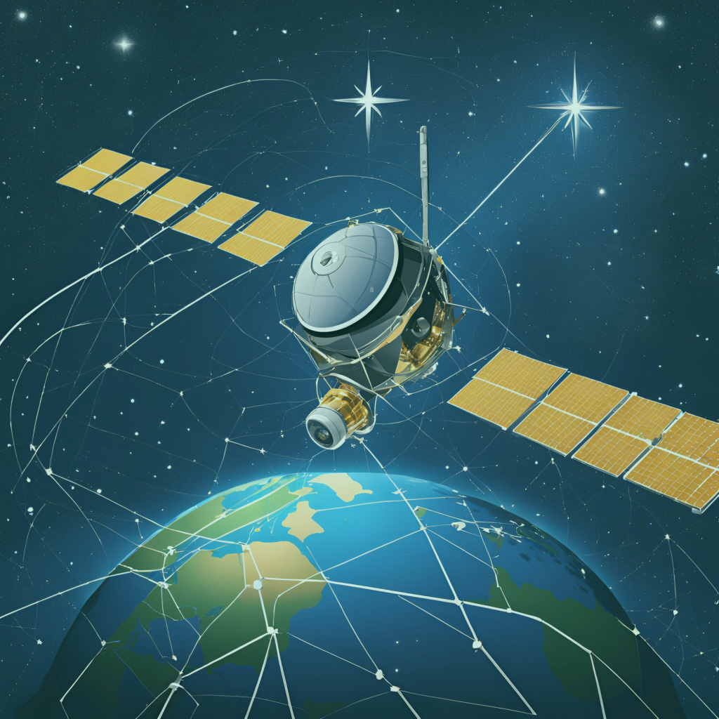
Global Navigation Satellite Systems (GNSS) has changed our navigation technology. Either you are using location on phone or using a self-driving car, GNSS plays key role in this.
GNSS is a group of satellite system which gives positioning, navigation and timing (PNT) data.
Popular GNSS networks are:
- GPS (United States): This is the most commonly used navigation system.
- GLONASS (Russia): This system is known for its strong positioning capabilities.
- Galileo (European Union): This system focus on accuracy and reliability.
- BeiDou (China): This system expands global reach rapidly.
- Regional Systems: India’s NavIC and Japan’s QZSS designed for specific regions.
These systems ensure that GNSS users can get world-wide reliable location data.
How GNSS works?
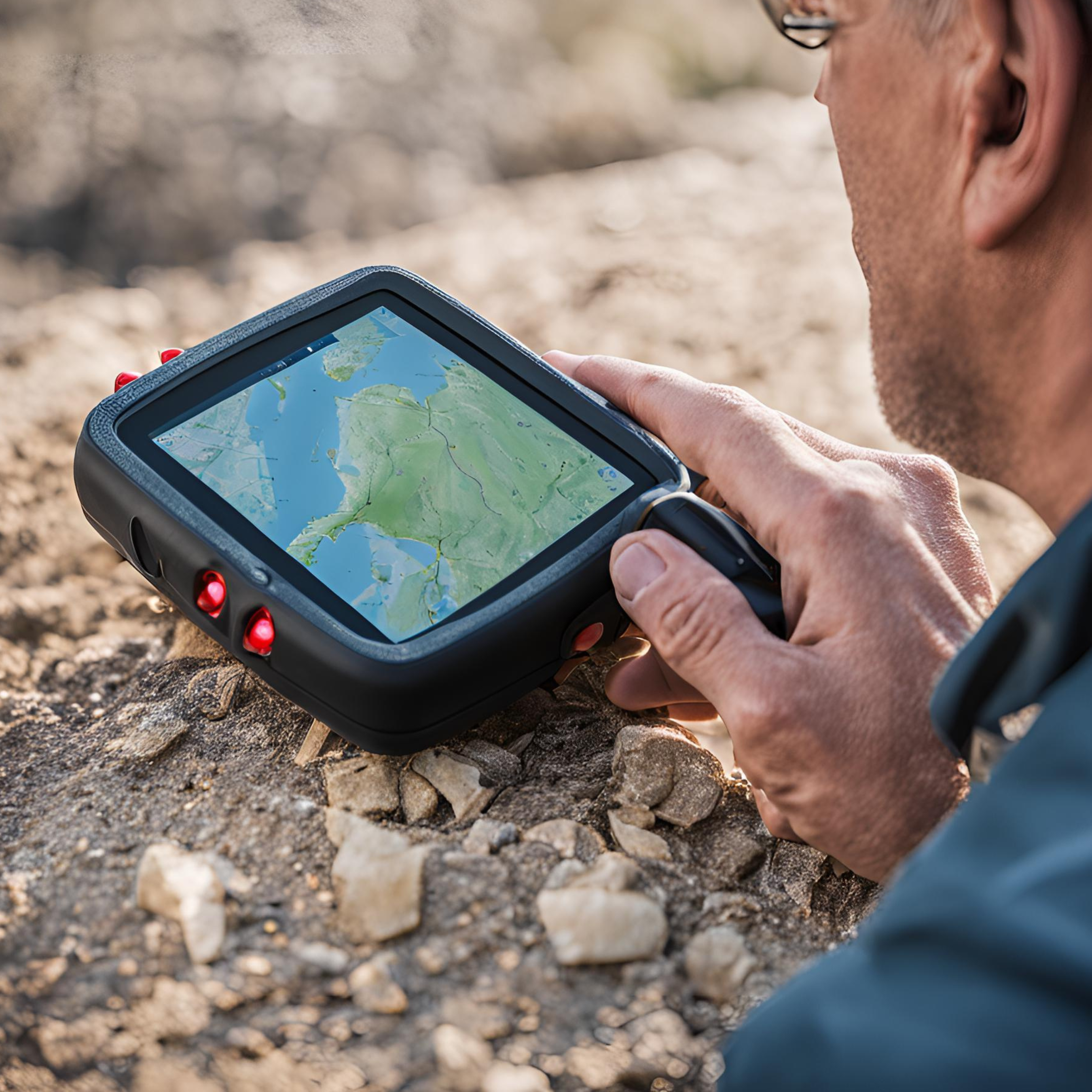
GNSS technology uses network of satellites which are present in the orbit of Earth. These satellites broadcasts signals that gives exact time and location. GNSS receiver, like smartphone, analyze those signals and calculates the distance from satellite. By using minimum 4 satellite signals receiver get its exact position in form of latitude, longitude and altitude.
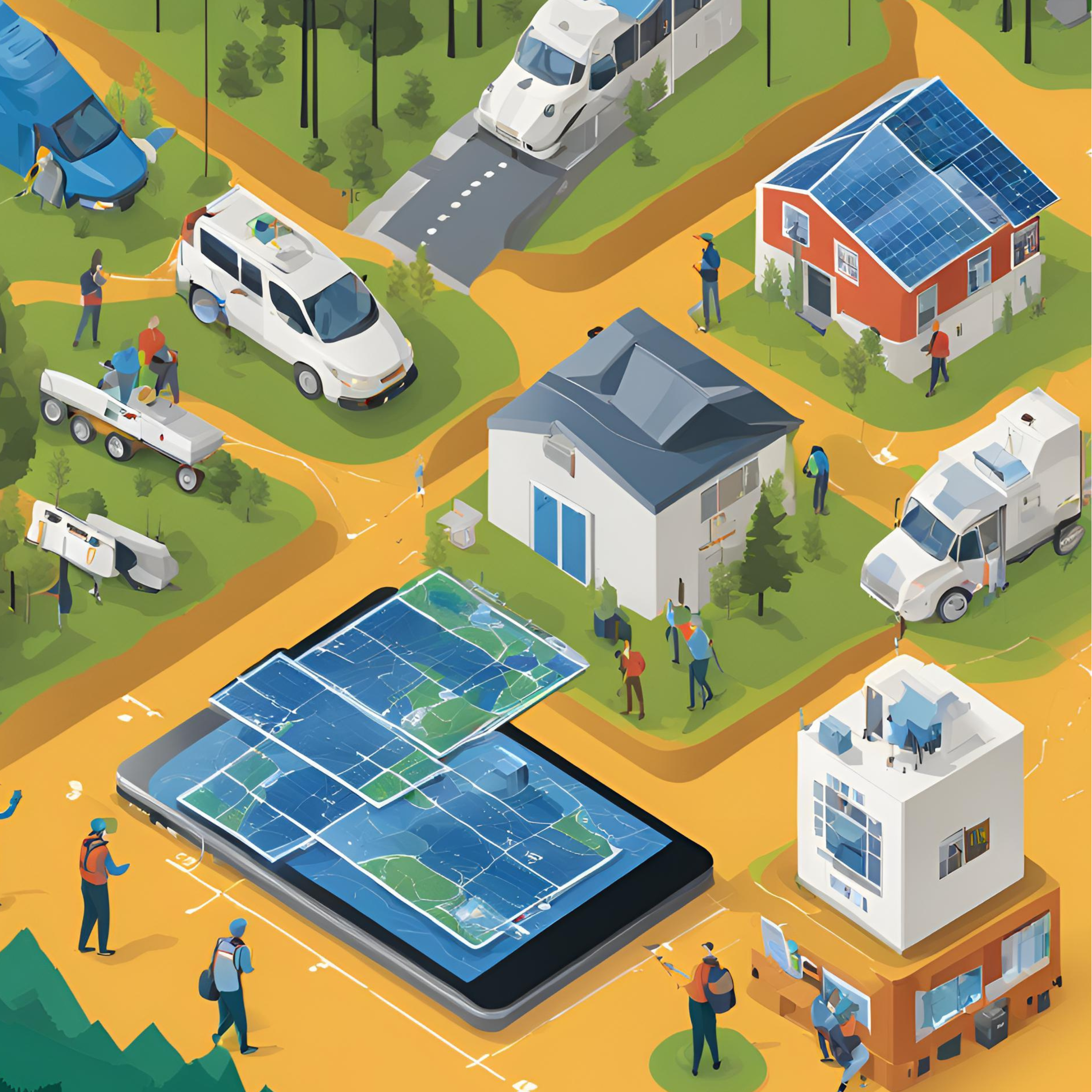
Applications of GNSS
GNSS used in many industries. Here are some of its applications:
Transportation:
- Enable GPS for Cars, trucks and trains.
- Guide Aircrafts for flight and landing.
- Support maritime navigation of ships.
Agriculture:
- Optimization of resources like water and fertilizers for precision farming.
- Guide Automated tractors for accurate planting and harvesting.
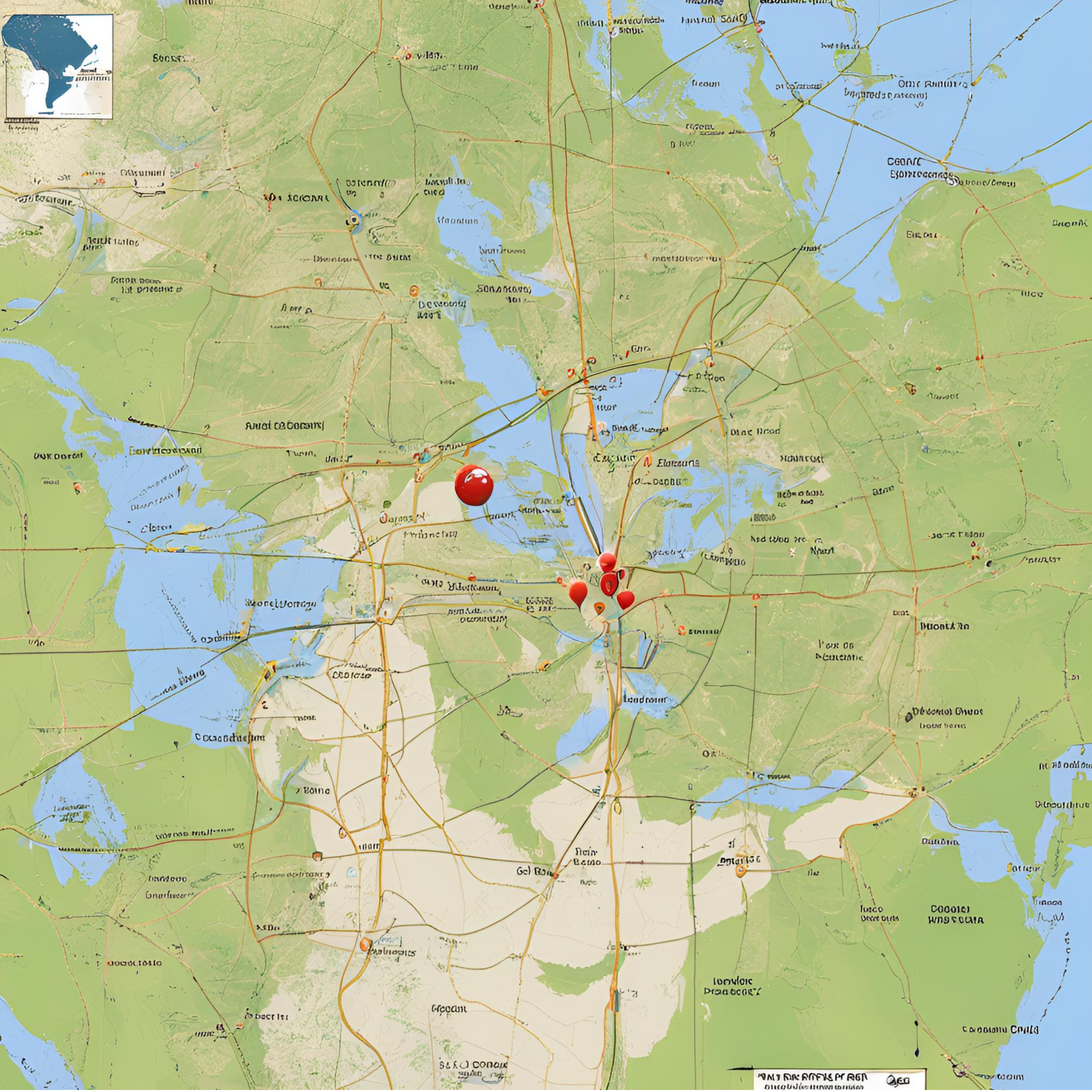
Construction and Surveying:
- Enhance land surveys with Accurate positioning.
- Helps in Machine control and infrastructure development.
Disaster Management:
- Provide real-time data for Search-and-rescue operations.
- Helps in mapping and relief efforts for time affected areas in case of natural disasters.
Recreational Use:
- Hikers and outdoor enthusiasts use this for navigation.
- Facilitates GPS-based activities like geocaching.
Innovations to forward drive GNSS
The GNSS field is always evolving. Some key innovations are:
1. Multi-GNSS Devices: Receivers that use signals from multiple GNSS systems improve their reliability and accuracy.
2. Enhanced Precision: Methods like Real-Time Kinematic (RTK) and Precise Point Positioning (PPP) achieve centimeter-level accuracy.
3. Security Enhancements: Advanced anti-jamming and anti-spoofing technologies are common these days.
4. AI Integration: The combination of GNSS data and AI enables smarter navigation and automation solutions.
5. Environmental Applications: GNSS reflectometry is used to measure sea levels, soil moisture and deforestation rates.
Future of GNSS
The importance of GNSS technology is increasing day by day,as industries are integrating GNSS technology in new systems and processes. It is one of the main technology used in the innovation of self-driving cars, drone deliveries and smart cities. Also it become an important tool for sustainability and environmental monitoring.
At ZATNav (Pvt) Ltd., we specialize in delivering cutting-edge GNSS solutions, leveraging our expertise in signal processing and advanced hardware development. Our innovative offerings cater to a wide range of industries requiring precise navigation, robust anti-jamming capabilities, and enhanced signal integrity.
For more information please feel free to contact us.